Understanding satellite imagery in humanitarian mission: An interpretation guide for staff on the ground
Summary
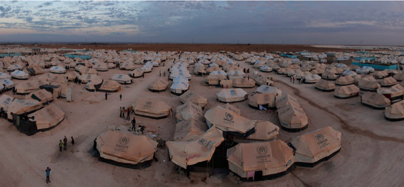
This guide educates humanitarian staff in the field to develop estimates of refugee numbers based on satellite imagery. Based on a number of case studies, it explains step by step how the images must be analysed and interpreted to gain precise and timely insights on the number of displaced people. The satellite imagery of these case studies is provided Google.
Results
The results of this projects are manifold, considering the humanitarian workers who are enabled to develop accurate estimations of the distribution of displaced people in refugee camps. Furthermore, while developing the guide a series of refugee camps were analysed and visualised, and – to simplify applying the guidelines to potential refugee camps in the future – all identified objects were organized in accordance to the UNOCHA system. Overall, this project helps to better understand refugee populations by sharing useful advice of how to effectively analyse satellite imagery.
(Image: © Harvard, HHI)


