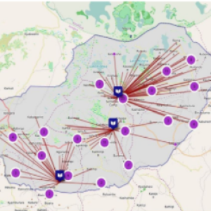
Satellite data can be defined by the two strands of satellite imagery and GPS data. Whereas satellite imagery can help with understanding the spatial distribution of populations – for instance, in refugee camps or cross-border regions –, the latter can provide short-dated information on the location of individuals, groups, and even rescue vessels in the Mediterranean.


